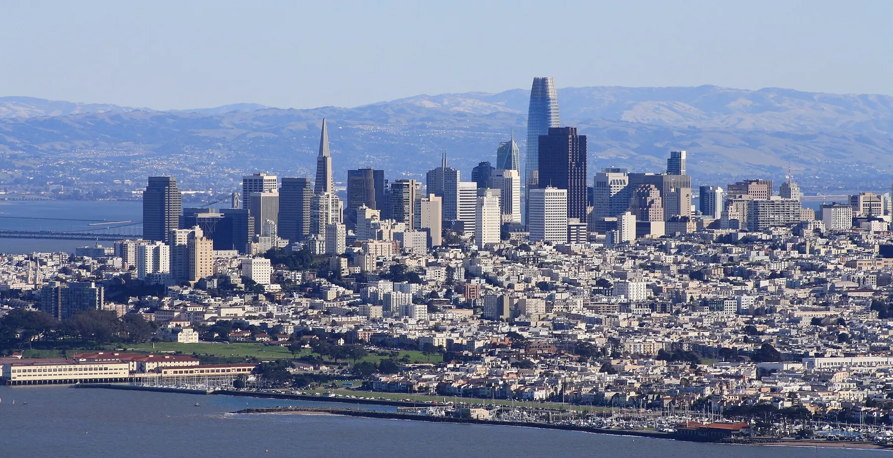
Robotaxis in the San Francisco Bay Area
Who runs robotaxis in the San Francisco Bay Area, CA, and the status of each, from the rows on our robotaxi data page.
Latest news
-
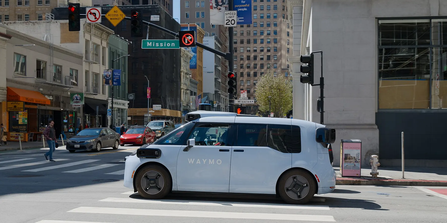
Waymo pauses its Bay Area robotaxi service as heavy rain floods San Francisco streets, reports say
Heavy rain and localized flooding in the Bay Area prompted Waymo to suspend its driverless vehicle service on Wednesday, CBS San Francisco reported. CBS San Francisco reported that the Waymo app said service would be paused until road conditions improved and the forecast looks clear, and The San Francisco Standard reported that a message on Waymo's app said its robotaxi service was "paused for now due to weather."
-
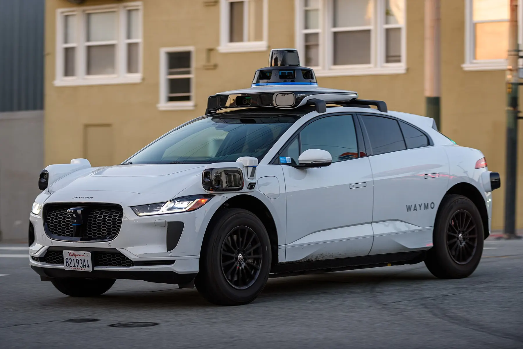
California DMV bars Waymo from freeways, and Waymo restricts freeway rides in its other markets, reports say
California's Department of Motor Vehicles issued operational restrictions on Waymo on November 11 that were not made public until Tuesday, November 17, TechCrunch reported. The San Francisco Standard reported that California regulators have barred Waymo from operating its robotaxis on any freeway, saying they have repeatedly driven into active construction zones and tried to pass emergency vehicles.
-
Waymo widens its service areas in five cities, including L.A.'s South Bay
On October 27, 2026, Waymo said on its blog that it is expanding its service areas by nearly 250 square miles across five cities, with the rollout happening over the next week.
Who runs robotaxis in the San Francisco Bay Area
-
Waymo
Public; south Bay expansion announced Oct 27, 2026
-
Tesla
Rides with a safety driver under a charter permit
-
Zoox
Free rides from a waitlist
-
Nuro, Lucid, Uber
Employee riders with a safety operator