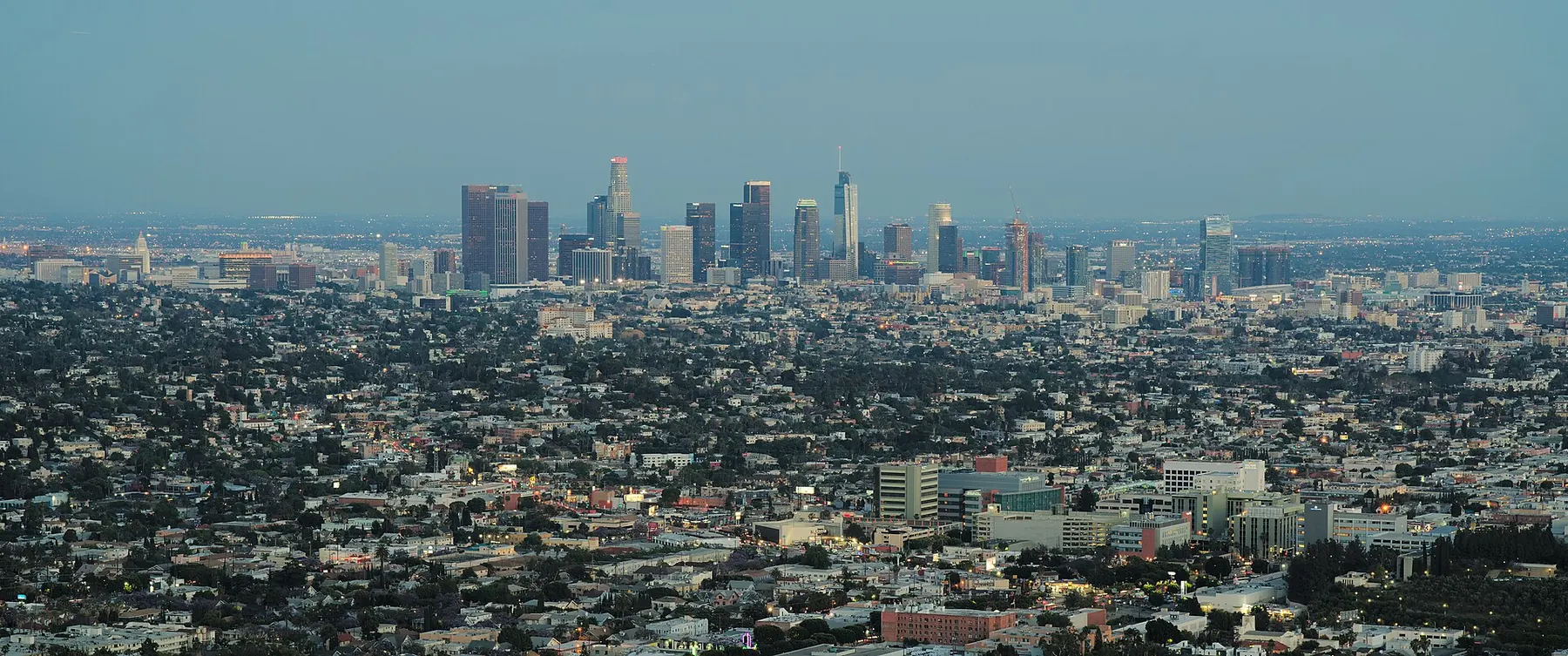
Robotaxis in Los Angeles
Who runs robotaxis in Los Angeles, CA, and the status of each, from the rows on our robotaxi data page.
Latest news
-
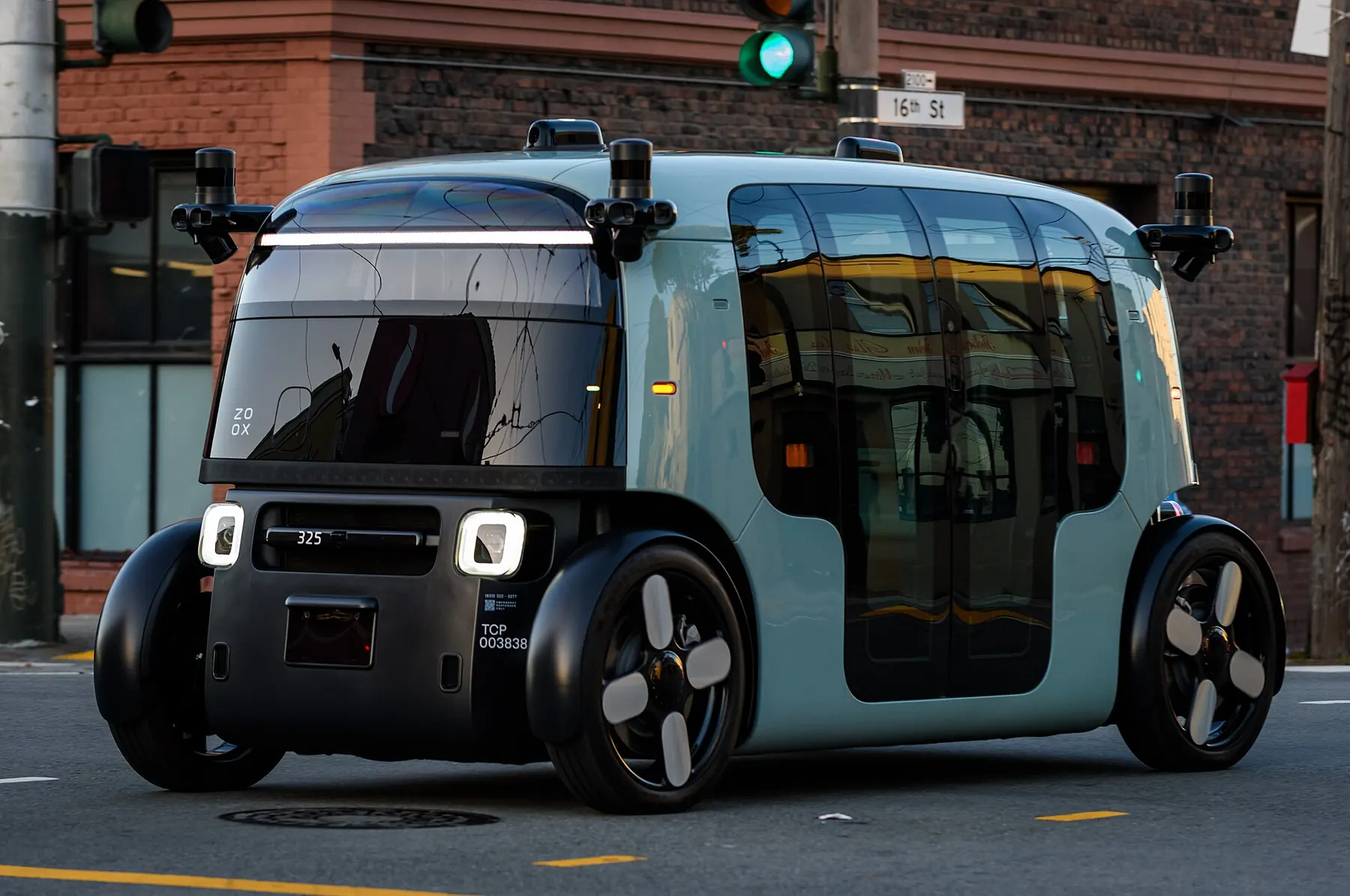
Zoox says it is moving into robotaxi testing in Los Angeles, with rides not yet open to the public
On November 19, 2026, Zoox said on X that it is moving into robotaxi testing in Los Angeles. "Rides aren't open to the public just yet," the company wrote, and it told followers to keep an eye out for its waitlist next year.
-
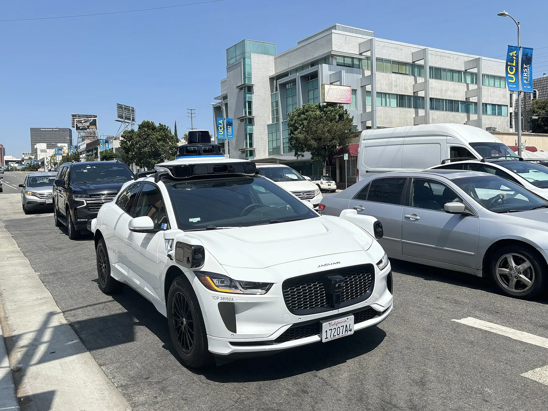
Waymo widens its service areas in five cities, including L.A.'s South Bay
On October 27, 2026, Waymo said on its blog that it is expanding its service areas by nearly 250 square miles across five cities, with the rollout happening over the next week.
Other recent robotaxi news
-
 Qatar starts the second phase of Karwa robotaxi trials with two Level 4 vehicles in Doha, reports say
-
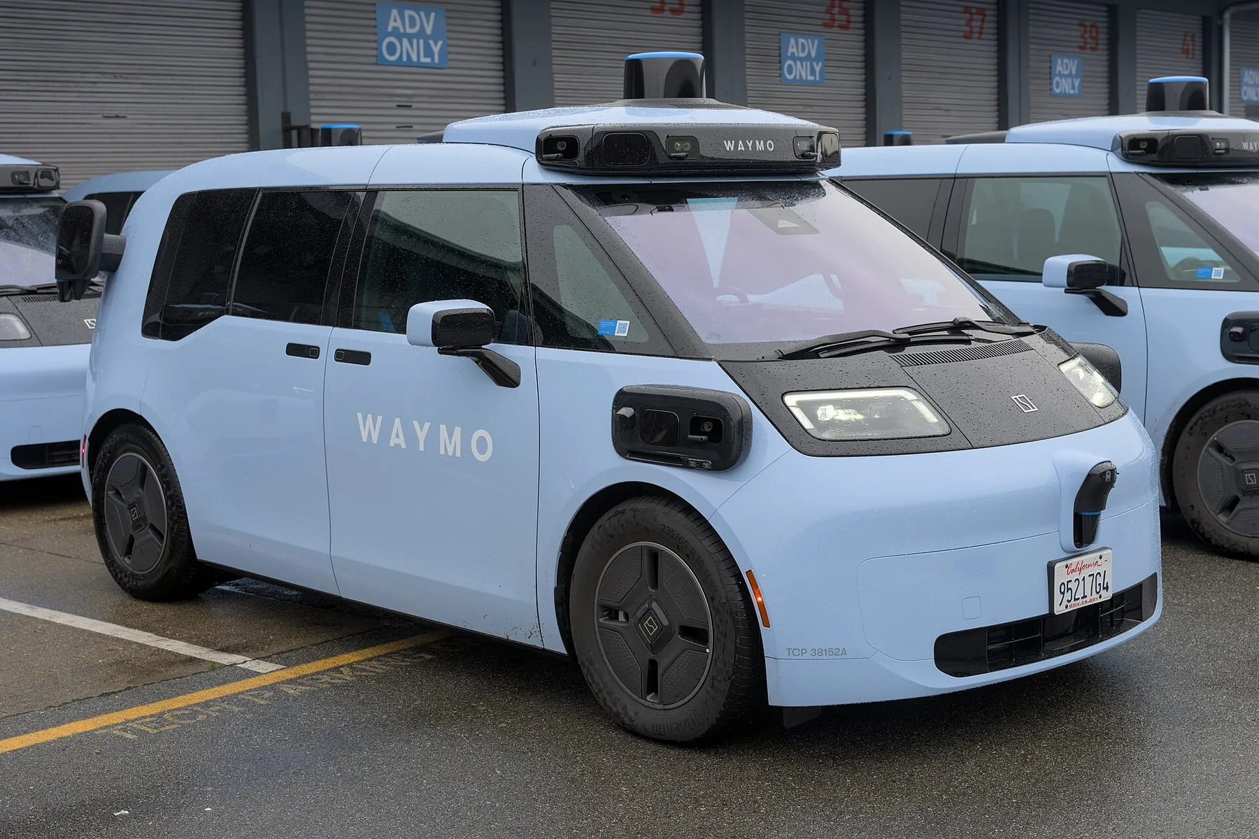 Denver officials say state law leaves the city almost no power to regulate Waymo as it plans to expand, reports say
-
 Tesla's updated Robotaxi first responder plans cite roads posted up to 85 mph, reports say
Who runs robotaxis in Los Angeles
-
Waymo
Public; South Bay expansion to Torrance announced Oct 27, 2026
210 sq mi reported, Nov 3, 2026
-
Zoox
Testing